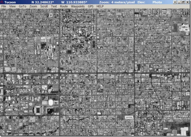
Black and white aerial photos represent a view of the earth from above. They are not accurate representation of the area , distortion is created when projecting a 3 dimensional object onto a 2 dimensional surface. Land use surveys and habitat analysis are common uses of black and white aerial photography.
http://freegeographytools.com/2007/georeferenced-terraserver-imagery-with-usaphotomaps
No comments:
Post a Comment